- Country / region
- NamibiaǁKaras Region
- Route type
- Point-to-pointLong-distance trail
- Highest point
- Canyon route
- Distance
- About 85 km
- Typical duration
- 4–5 days
- Common season
- The managed hiking season is normally limited to cooler months; confirm annual opening and medical requirements.
Trail brief
What the route demands
A recognised route with itinerary, access, and conditions that vary by chosen section and operator. Confirm the current route plan before departure.
Terrain
- Waymarked paths
- Natural trail
- Mixed surfaces
Fitness and technical level
Excellent endurance with prior experience in comparable terrain
Some itineraries require specialist skills, equipment, or a qualified guide.
Field view
See the ground, not just the summit.
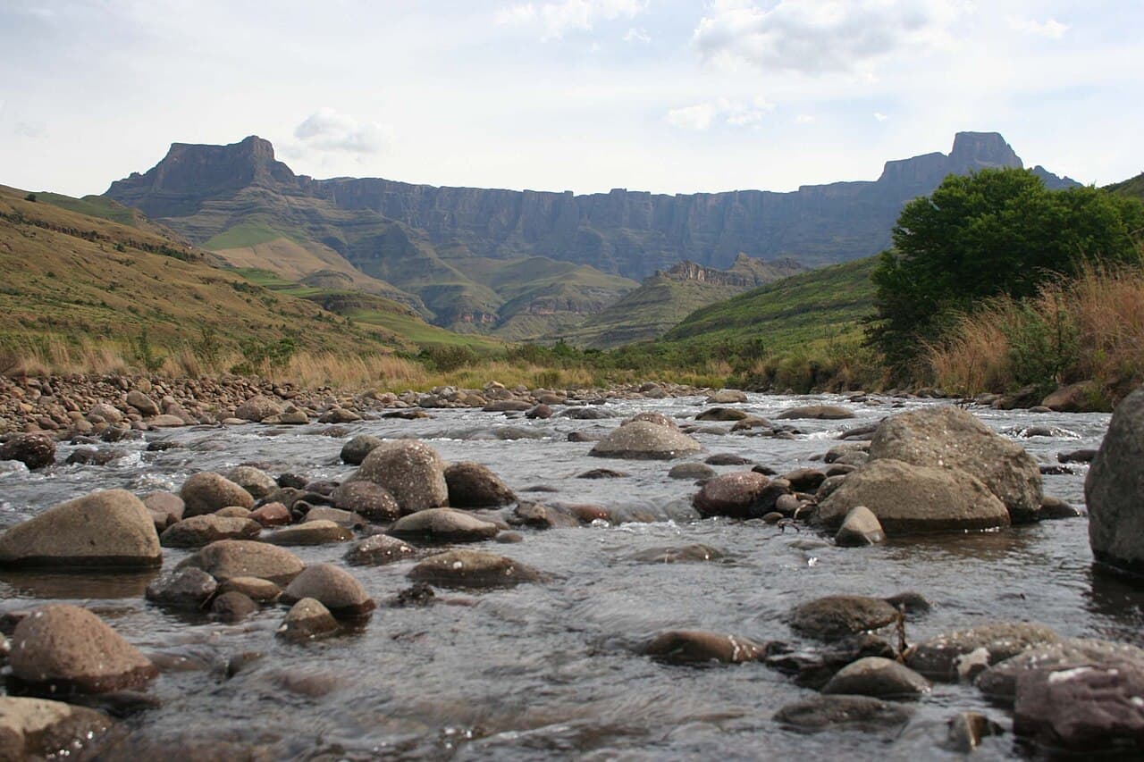
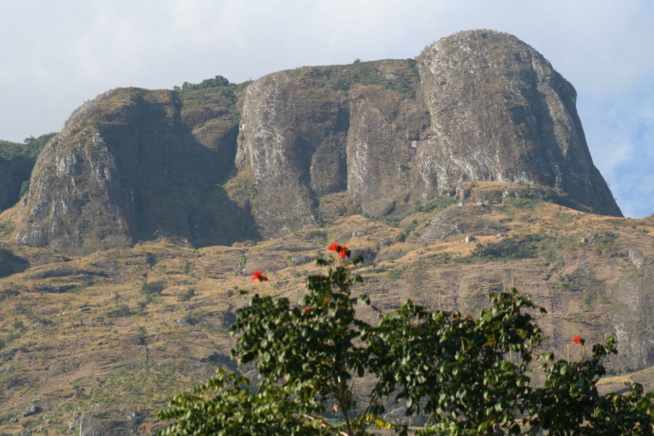
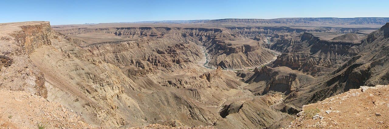
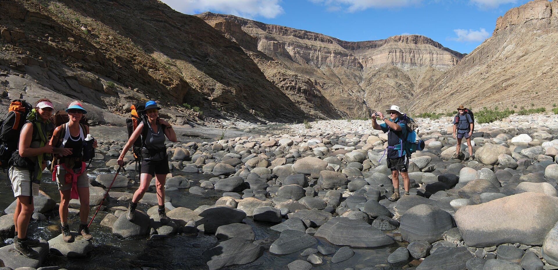
Documentary photographs from the route environment. No generated scenery or visual simulation.
Altitude
Height and acclimatisation
Altitude is not the primary difficulty on most standard itineraries.
Conditions
Weather and seasonality
Conditions can change quickly. Use the responsible authority's current forecast and trail notices immediately before travel.
Water
Resupply planning
Water availability and treatment needs vary by stage and season. Confirm reliable sources for the chosen itinerary.
Access
Transport and start area
The map reference identifies Hobas access area; it is not a drawn hiking route. Confirm the actual trailhead and transport plan.
Requirements
Permits and guides
Access, booking, and permit rules can change. Check the official sources before committing travel.
Guide requirements vary by jurisdiction and itinerary. Confirm current rules and use qualified local support where appropriate.
Overnight pattern
Accommodation
A mix of huts, lodges, camps, or nearby settlements depending on itinerary.
Preparation checklist
Verify before departure
- Check current access and closures
- Confirm itinerary and transport
- Review water, weather, and emergency options
- Share a separate trip brief
Main planning risks
- Weather exposure
- Route-finding error
- Water or resupply gaps
Record local emergency contacts and agree a manual check-in plan outside TrailDesk. TrailDesk does not monitor a trip or send alerts.
Map and directions
A real reference point, not a route line.
Hobas access area-27.59, 17.61 · access area reference
This pin marks the stated access area, not a complete hiking route. Map services require internet.
Traveller feedback
No published traveller reviews yet.
If you have completed this route, you can prepare a review for future submission. TrailDesk has no publishing backend, so drafts remain on this device and never affect ratings.
Official references
Check the responsible source.
TrailDesk reviewed this record on . Rules and conditions can change after that date.
Related research