

KenyaHard
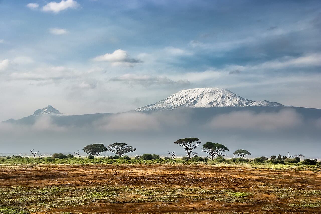
Mount Kenya — Point Lenana
- Type
- Summit trek
- Elevation / distance
- 4,985 m
- Typical duration
- 4–5 days
- Common season
- Drier windows are commonly January–February and August–September.
Photo: Don Elvis Muraya · CC BY-SA 4.0
TrailDesk
Trail research · trip preparation
Compare real trekking destinations, understand what each route demands, and build a practical trip brief before departure.
Real destinations Credited photography Browser-local planning
Photo: Sergey Pesterev · CC BY-SA 4.0
What works today
TrailDesk helps hikers, group organisers, and first-time visitors turn early research into a practical brief. It does not replace official route information or field equipment.
Compare established destinations using a shared catalogue of practical context.
Build route notes, a departure brief, and a trip-specific gear checklist.
Keep plans and reusable packing lists in the current browser profile.
Destination field notes
Use the catalogue to establish context, then verify the specific route, access rules, permits, conditions, and guide requirements.
Photo: Don Elvis Muraya · CC BY-SA 4.0
Photo: Sergey Pesterev · CC BY-SA 4.0
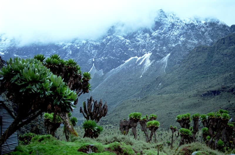
Photo: Nick06 · CC BY-SA 3.0
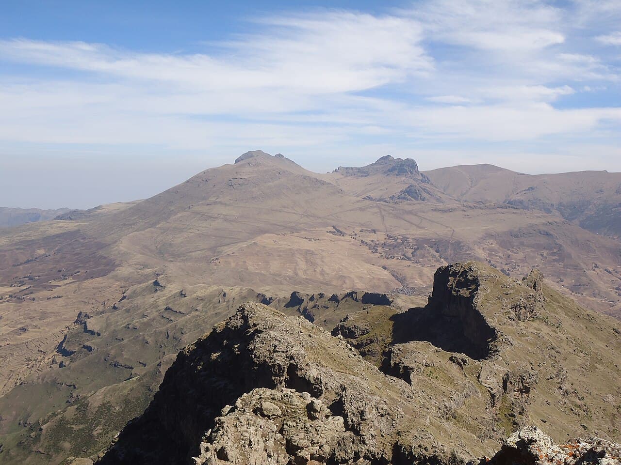
Photo: Florian Fell · CC BY-SA 3.0
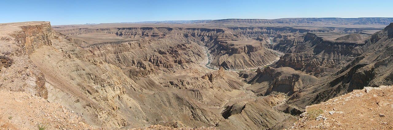
Photo: RudiBosbouer · CC BY-SA 3.0
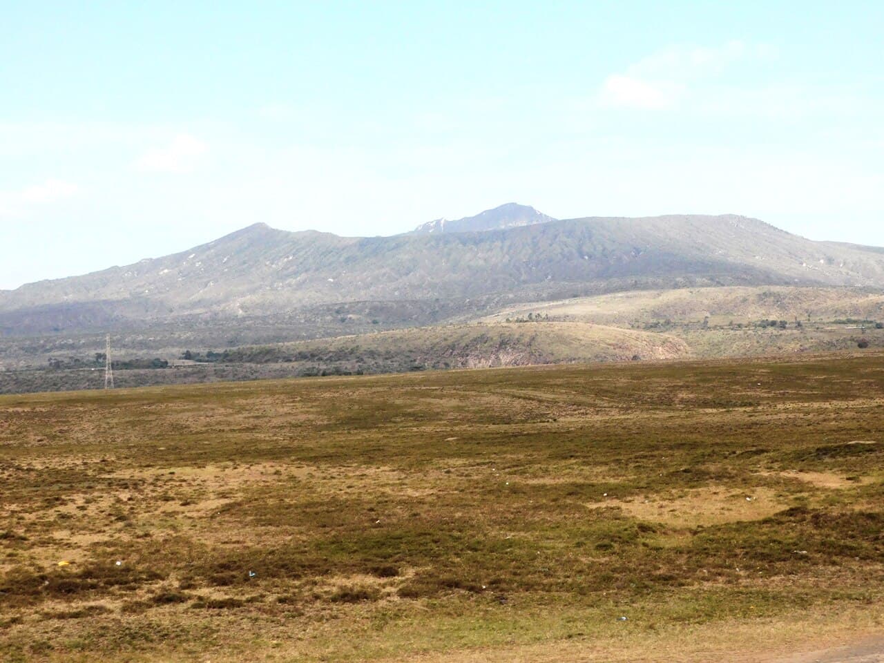
Photo: RVBS · CC BY-SA 4.0
Planning workflow
Start with route context, adapt a gear template, record the contact plan you have agreed elsewhere, and review everything before saving it to this browser.
Sample preview
Emergency contact recordedShare the plan manually before departure
Manual check-in: every 4 hoursTrailDesk does not monitor this interval
Saved in this browserNo cloud backup or device sync
Practical preparation
The useful work is rarely glamorous: dates, water, route limits, equipment, local requirements, and a contact who knows the plan.
Record the route, region, likely duration, current source notes, and useful reference coordinates.
Start from a general template, then adapt it to altitude, season, group experience, and local advice.
Write down who has the plan and the check-in arrangement you have agreed through another channel.
Keep a working copy in the browser, then export important information to a more durable format yourself.
Know before you rely on it
There are no offline maps, live tracking, weather updates, automatic check-ins, or emergency alerts. Google Maps requires internet. Saved plans remain only in the current browser profile.
Confirm conditions, permits, access, and guide requirements with park authorities and qualified local operators. Carry appropriate navigation, communication, and emergency equipment.